


US Gulf Coast
The refining and export coast of the United States. We arrange storage, Jones Act and export freight, inspection and tracking from Corpus Christi to the Mississippi River.
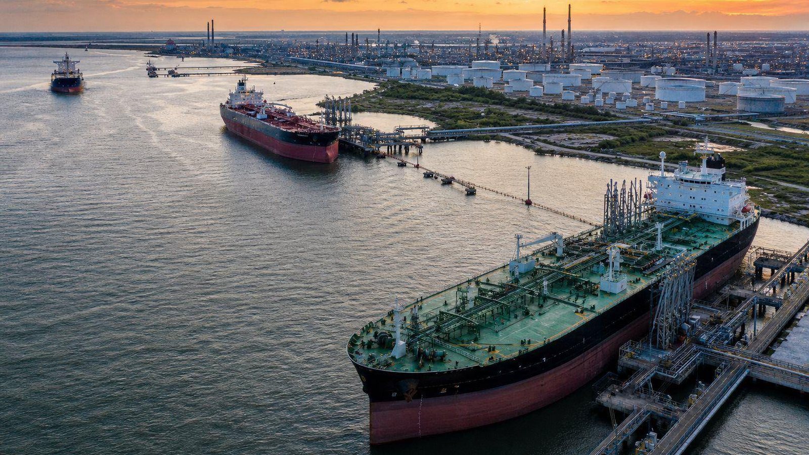
The US Gulf Coast, PADD 3 in government statistics, holds more than half of US refining capacity and is the main exit for US crude and refined-product exports. Permian and Eagle Ford crude reaches the coast by pipeline. Products leave by ship for Latin America, Europe and Africa, and by barge and pipeline for the US interior and East Coast.
We do not operate a Gulf Coast terminal. We arrange third-party storage on the coast, fix export and coastwise freight, appoint independent inspectors at every custody transfer and put each movement on one tracking number. For clients moving barrels out of the Rockies or the Midcontinent, the Gulf is usually the leg where an inland shipment becomes an export cargo.
The coast, port by port
The Gulf Coast is not one hub but a string of them, each with its own draft limits, pipeline connections and storage character. Knowing which terminal can receive a grade by pipeline, load it on the right ship size and heat it if needed is most of the work. The table shows the main nodes and the flows they typically handle.
| Node | Main role | Typical flows |
|---|---|---|
| Corpus Christi / Ingleside | Largest US crude export port | Permian and Eagle Ford crude to Europe and Asia |
| Houston Ship Channel / Texas City | Refining, petrochemicals, export terminals | Crude, gasoline, diesel, chemicals, fuel oil |
| Beaumont / Port Arthur / Nederland | Refining and crude terminals on the Sabine-Neches Waterway | Crude imports and exports, refined products |
| LOOP, offshore Port Fourchon | Deepwater port with salt-cavern storage at Clovelly | VLCC crude discharge and loading |
| St. James, Louisiana | Crude storage, pipeline and rail hub on the Mississippi | Domestic and imported crude, LLS pricing |
| Lower Mississippi River | Refining corridor from Baton Rouge to New Orleans | Ocean and barge product movements |
| Gulf Intracoastal Waterway | Protected inland route from Texas to Florida | Tank barge traffic in products and chemicals |
Ship sizes and how they fit the coast
Most Gulf Coast channels cannot take a fully laden VLCC. Crude for long-haul voyages either loads at LOOP or goes out on Aframaxes that transfer their cargo to a VLCC offshore, a practice called reverse lightering. Products move mainly on MR tankers. Inland, tank barges and articulated tug-barges carry products and chemicals along the rivers and the Intracoastal Waterway.
| Class | Typical size | Typical Gulf Coast use |
|---|---|---|
| VLCC | 200,000-320,000 dwt | Long-haul crude; loads at LOOP or by reverse lightering |
| Suezmax | 120,000-200,000 dwt | Crude to Europe and the Mediterranean |
| Aframax | 80,000-120,000 dwt | Crude exports and lightering service |
| MR product tanker | 25,000-55,000 dwt | Gasoline and diesel to Latin America |
| Inland tank barge | 10,000-30,000 bbl | River and Intracoastal product and chemical moves |
What we arrange on the Gulf Coast
We source tank capacity matched to the grade: floating-roof tanks for crude and gasoline, heated and insulated tanks for fuel oil and asphalt, segregated tanks where a buyer needs its own barrels kept apart. We fix freight on vetted ships and barges, coordinate pipeline nominations into and out of the terminal, and appoint an independent inspector for each custody transfer.
- Storage sourcing for crude, products, chemicals and renewables
- Export voyage charters and coastwise Jones Act freight
- Barge freight on the Mississippi and the Intracoastal Waterway
- Independent quantity and quality inspection at load and discharge
- One tracking number from inland origin to export vessel
Weather and port closures
Hurricane season runs from June 1 to November 30. As a storm approaches, the US Coast Guard sets port conditions, from Whiskey through X-Ray and Yankee to Zulu, which restrict and then close vessel traffic. Terminals may stop receipts, refineries may cut runs, and pilots stop boarding. A laycan that looked comfortable can disappear in two days.
We plan around that risk. During the season we watch National Hurricane Center advisories, confirm tank room ahead of any expected closure and keep clients informed of port condition changes through the tracker. Laytime and demurrage exposure during a closure depends on the charter party wording, so we review it before fixing.
Frequently asked questions
Can a VLCC load directly at a Texas port?
Some Corpus Christi area terminals can load a VLCC partially. To reach a full cargo, the ship is usually topped up offshore by reverse lightering from Aframaxes. LOOP, off Louisiana, handles VLCCs at offshore buoys in deep water.
Why does St. James matter for crude pricing?
St. James, Louisiana, is a storage and pipeline hub on the Mississippi River and the pricing point for Light Louisiana Sweet crude. Many Gulf Coast crude contracts reference LLS or a differential to it.
Do you arrange US-flag vessels for coastwise moves?
Yes. When cargo moves between two US ports we fix Jones Act qualified tankers, articulated tug-barges or tank barges. If the economics favor a different route, such as pipeline or rail, we will say so.
What happens to my cargo during a hurricane closure?
Product in tank stays in tank, and the terminal follows its own storm plan. Vessel movements stop under Coast Guard port conditions. We update the tracker with each change and rebuild the schedule once the port reopens.
Related
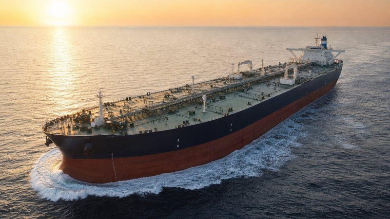
Marine Tanker Freight
Tanker size classes, SIRE 2.0 vetting and Jones Act rules, matched to your parcel and both berths.
Read more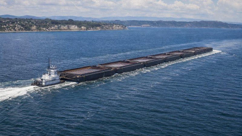
Tank Barge Transport
Inland tank barges, tows, ATBs and heated asphalt barges on US rivers, the Intracoastal and the coast.
Read more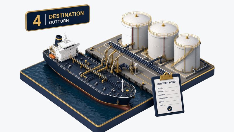
Laytime and Demurrage, Explained
NOR, laytime, demurrage and despatch, with a worked tanker claim using hypothetical figures.
Read more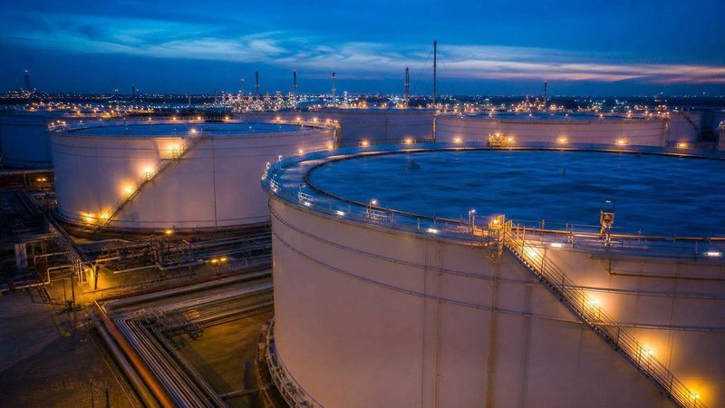
Crude Oil Storage
Floating-roof tankage, grade segregation, H2S control and blending to refinery spec.
Read moreMove barrels through the Gulf
Tell us the grade, quantity, laycan and destination. We will propose storage, freight and inspection for the Gulf Coast leg.